

There are many residential architecture studios in Melbourne whose portfolios are concentrated within specific geographical regions: the south-eastern suburbs, the inner-north, bayside, the Mornington Peninsula, Ballarat. I live in Carlton North and seem to see Robert Simeoni signs on front fences everywhere. Zen Architects does a lot of work in and around Northcote. Jolson Architects has nailed the Toorak market.
I don’t believe there’s any data quantifying the prevalence of this phenomenon, but common sense would suggest it’s widespread.
Architecture is a physical act: it leaves a mark on the built environment that acts as a type of calling card for future clients. Locals walk past a construction site, come across an ad in the local paper, or see the architect’s studio on a Google Maps search, and are pulled into the architect’s orbit. Each project develops its own powerful gravitational field that inevitably leads to more local enquiries than those from further away. The enquiries become projects, they produce new gravitational fields, and so on.
This chain reaction is useful for an architect, it’s a reliable pipeline of familiar projects that help establish a strong local presence and consistent portfolio. But what happens when the snowball never gets started in the first place?

A geographically dispersed practice
For reasons unknown to me, both the enquiries and commissions of Mihaly Slocombe are and have always been widely dispersed across Melbourne and rural Victoria.
Our studio is located in Brunswick East, and while we have a growing number of projects scattered across the inner-north, we are also working on or have completed projects in Albert Park, Ashburton, Bentleigh, Brighton, Broadmeadows, Camberwell, Caulfield, Collingwood, Doncaster, Eaglemont, Frankston, Hawthorn, Heidelberg, Ivanhoe, Keilor, Kensington, Kew, Malvern, Melbourne CBD, Moonee Ponds, Richmond and Rosanna.
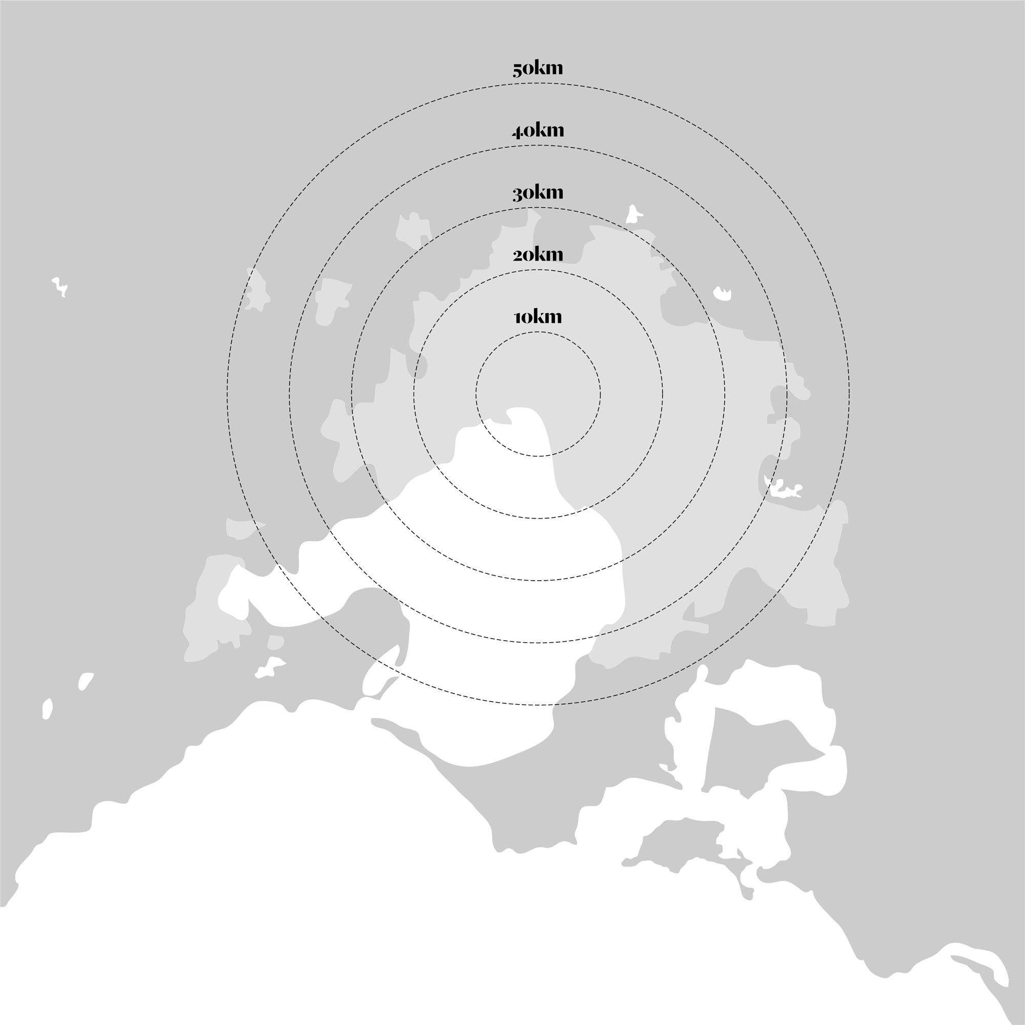
Our version of local therefore is a sprawling 300 or so square kilometres, and that’s just our work in and around Melbourne.
Each blue dot on the map above represents one of our current or past projects. They tell an interesting story in and of themselves, most importantly this surprising insight:
- Excluding two projects in Frankston, all of our urban commissions have been less than 20km from the city.
But what about enquiries that never get off the ground? And how do they relate to the ones that do? What else might a thorough mapping of all 160 of the enquiries we’ve received to date reveal?


Mapping our enquiries
We divide project enquiries into four categories: projects are commissions we win, with signed fee proposals; declined are fee proposals that are declined by the client; aborted are enquiries that never get so far as a fee proposal; and rejected are enquiries that are declined by us.
Overlaying the map for each category reveals a number of interesting things:
- The pattern of our enquiries is reflected in the pattern of our commissions. In other words, there is no bias towards a certain part of Melbourne whose enquiries generate a disproportionately high or low number of commissions.
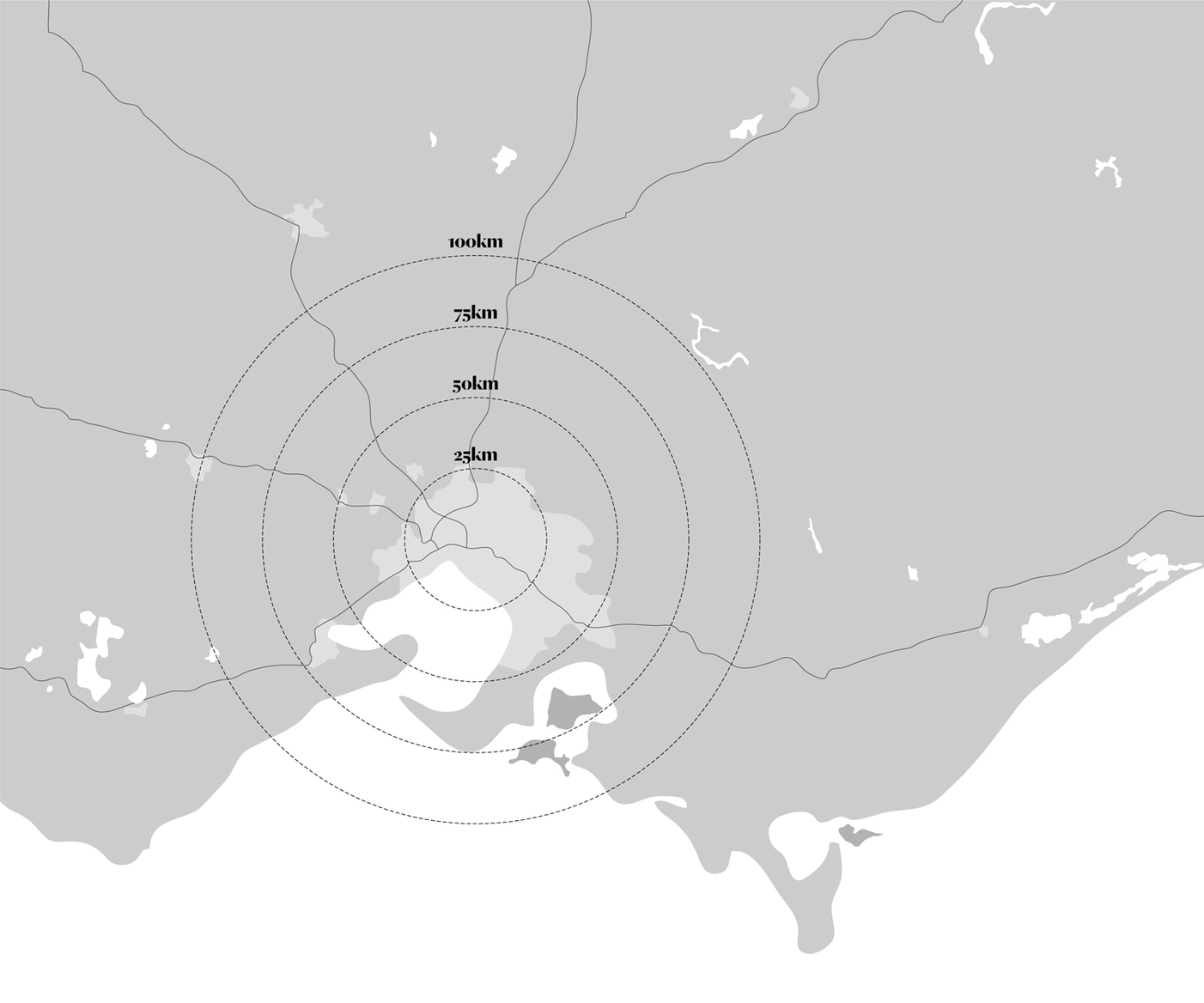
- Of the four project categories, aborted has the highest density outside the 10km and 20km rings.
- Excluding one project in Keilor, all of our urban enquiries (and commissions) have been from the northern, eastern and southern suburbs.
- Our rural enquiries have been dispersed across much of Victoria, but our rural commissions have been mostly concentrated on the two peninsulas, Mornington and Bellarine.
These observations corroborate what was previously a set of educated intuitions about the pattern of our enquiries. They provide specificity too – We previously had no idea that the 20km ring is so important, nor that the western suburbs are so underrepresented amongst our enquiries. Most actionably, they have given us firm metrics to assess the likelihood of a project proceeding based on geography and other factors, and have helped us flesh out what we now call the three hurdles.
The hurdles are simple really: when a potential client first makes contact, we aim to discover as much as we can about her and her project. In particular, we want to know three things:
- Where is the project located?
- What is the broad scope of the project and what is the budget?
- What are the client’s design ambitions?
The answers to these questions help us be pragmatic about our enquiries. We know statistically that enquiries outside the 20km ring are almost always non-starters. We also happen to know that projects with lower budgets are expensive for us to take on (more on this in a future blog post). And we know that clients who have strong preconceptions about their design outcome aren’t well suited to our openly creative design process.
If the client stumbles on two of the three hurdles, we can be confident that the project is likely to end up a yellow dot. Asking the hard questions early, and knowing the geographic shape of our portfolio, help us spend less time on projects that don’t lead anywhere, and more time on projects that do.

Challenges and opportunities
Our dispersed portfolio has meant a few challenges for our growing practice, some of which are only just becoming apparent as we hit our seventh year in business:
- We are less visible. Our fragmented street presence across Melbourne means we are much less likely to make serendipitous connections with passersby.
- Our portfolio is less coherent. If all of our projects were renovations to terrace houses in the inner-north, clients with that sort of project would be able to easily understand what we do. For us, a new house on a vineyard, a small sleeping pavilion and a renovation to a 1977 Kevin Borland house are too unrelated to paint a comprehensive picture of who we are and what we do.
- Our growth curve is slower. The key quality of a localised portfolio is that it generates momentum. For us, we are only just beginning to return to suburbs where we’ve worked previously. In the meantime, all of those missed enquiries in far flung places were commissions that a localised practice might have won.
It’s not all bad news though, far from it. A dispersed portfolio has a number of benefits that I think will begin to matter more and more the longer we’re in business:
- We have broad expertise. Having worked across many parts of Melbourne, we have developed an appreciation of unique topographies, prevailing weather patterns, demographics, histories, building stock, culture, and local council requirements. This makes us better placed to keep working across Melbourne, including into new suburbs.
- We are hard to pigeonhole. Our well-rounded experience resists the pigeonholing that goes hand-in-hand with a localised portfolio. Our portfolio is full of unusual projects, and is only becoming more so. I expect this will open future doors for us that would be shut to a more homogenous practice, including assisting us to diversify into new project typologies.
- We don’t get bored. Perhaps most importantly, the diversity in the locations and clients of our projects make our work more intellectually stimulating, and ultimately more enjoyable.


Reflection
Understanding why our practice has evolved this way is difficult. Architecture is largely opportunistic. Clients approach us, not the other way around, so we work on whatever the world brings us. This leads to all sorts of unpredictable connections with potential clients.
Let me illustrate:
Our Hill House project led to the commission for Chamfer House despite the former finishing five years before the latter starting, the two sites being located 30km apart, and the two clients never having met. How can they possibly be linked? Well, in 2006 Hill House was completed, then in 2008 longlisted for the WAN House of the Year award. The longlisted entries were exhibited online. A television scout for Canadian television programme, World’s Greenest Homes, discovered the project and got in contact. In 2009, the house was filmed and the show aired in Australia on the ABC. Then in 2011, the show aired again on repeat, and our soon-to-be Chamfer House clients saw Hill House, liked it, and tracked us down.
The important thing to acknowledge here is that we had zero control over all of these steps. What’s more, I’m sure many of our projects would reveal similar stories if probed.
Twenty one years ago, Nicholas Negroponte predicted that “the post-information age will remove the limitations of geography. Digital living will include less and less dependence on being in a specific place at a specific time.”[1]
Negroponte’s argument centred around the death of cities, which of course has proven not to be true. But there is nevertheless a profound realisation in his prediction. Our cities may be thriving more now than ever before, but they’re not what they used to be. As Carlo Ratti has observed, “the digital revolution did not end up killing our cities, but neither did it leave them unaffected. A layer of networked digital elements has blanketed our environment, blending bits and atoms together in a seamless way.”[2]
The layering of the digital world over the physical has, for us, allowed us to make connections in new and geographically diverse ways. I can’t explain the spread of our early projects, but more recently our strong digital presence on Houzz has untethered us somewhat from the limitations of geography. Reviewing our last five projects won from online enquiries proves this point:
- Ivanhoe East – AIA find an architect service
- Princes Hill – Google
- Northcote – Houzz
- Kew – Houzz
- Murrindindi – Houzz
In past generations, it was perhaps more difficult for an architect to develop a portfolio without relying on local personal networks and word of mouth. The Internet has by no means replaced these pathways to new projects, but they have certainly increased the chance of chance encounters. Now there are two worlds to navigate, the physical and digital, and in each there are opportunities for an architecture practice willing to master them.
Footnotes:
- Nicholas Negroponte; Being Digital; Hodder and Stoughton; 1996
- Carlo Ratti; Digital Cities: ‘Sense-able’ urban design; Wired; 2nd October 2009
Images sources:
- Map of Melbourne, author’s own image
- Melbourne data: project category, author’s own image
- Melbourne data: all categories, author’s own image
- Victoria project data: all categories, author’s own image
- Hill House, design by Mihaly Slocombe, photo by Emma Cross
- Chamfer House, design by Mihaly Slocombe, photo by Andrew Latreille